Mu Ko Chang National Park Guide: Access & What to Do
A practical guide to Mu Ko Chang National Park in Trat: how the park is structured, how to get there, what to see, and what to check on fees and boat trips.
On this page
Last updated November 2026: Mu Ko Chang National Park is a marine park in Trat Province on the Gulf of Thailand's eastern edge. It covers most of Ko Chang plus around 50 islands, so there is no single gate or ticket office. For national fee context, start with our Thailand national park fees guide, then use this page to plan the Ko Chang section of your trip.
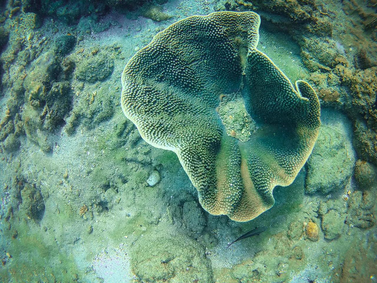
Featured image: E.C.L., CC BY-SA 2.0, via Wikimedia Commons.
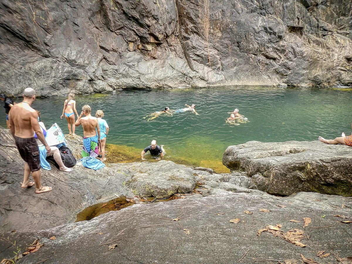
What Mu Ko Chang National Park Covers
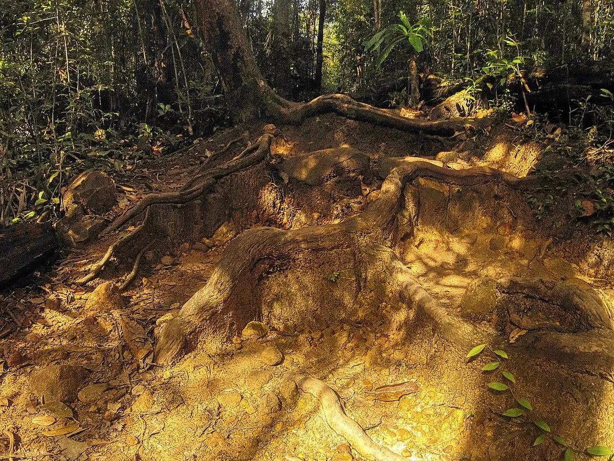
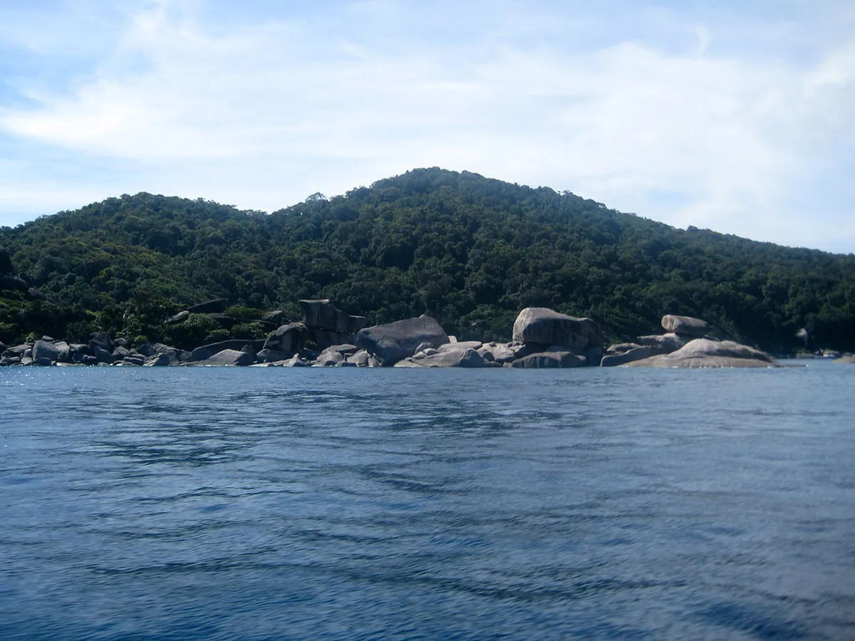
Mu Ko Chang National Park is an archipelago, not a single attraction. Its protected area spans about 650 km² (406,250 rai) of land and sea. Ko Chang is the main island at about 213 km². Around 50 smaller islands sit within the boundary, including Ko Wai, Ko Rang, Ko Kradat and Ko Mak. Thailand designated it as the country's 45th national park in 1982. It is an IUCN Category II area with coral reefs. Park land and private land share Ko Chang, so a resort strip or village is not automatically park territory. Most visitors meet the park through waterfalls, forest walks, viewpoints and boat trips to the outer islands. Rules and charges depend on the specific site you visit. The Department of National Parks is the official source for status, fees and rules.
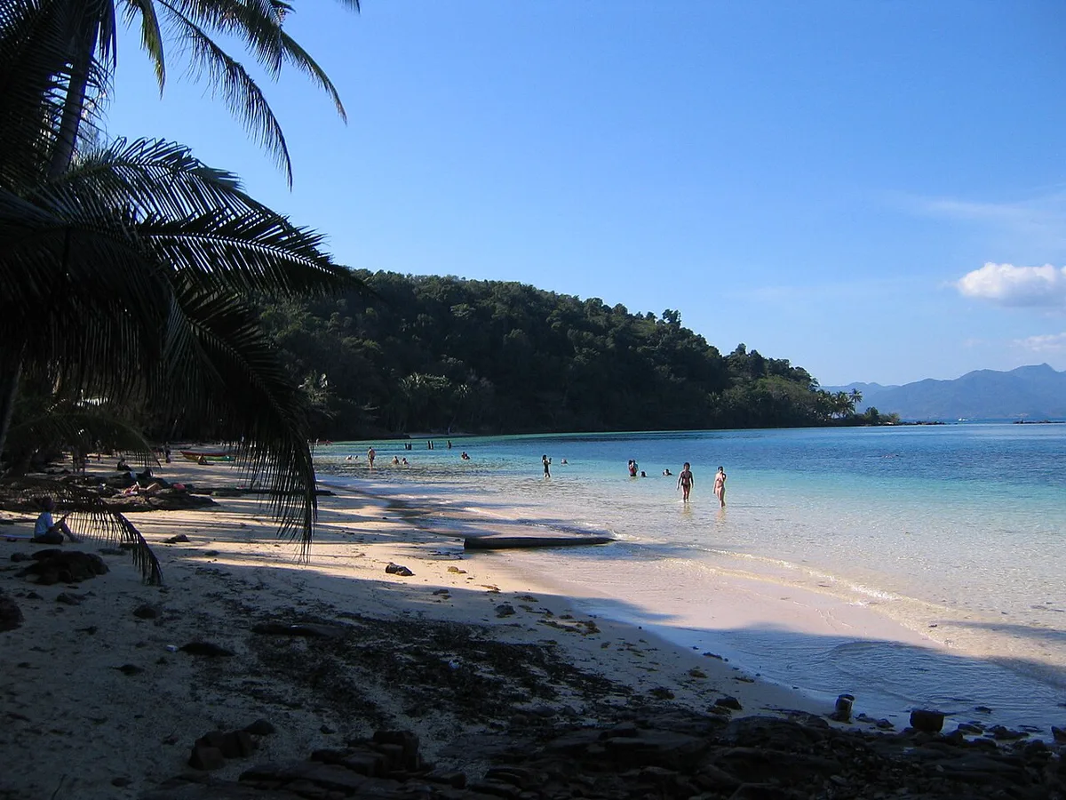
Best Things to Do in Mu Ko Chang National Park
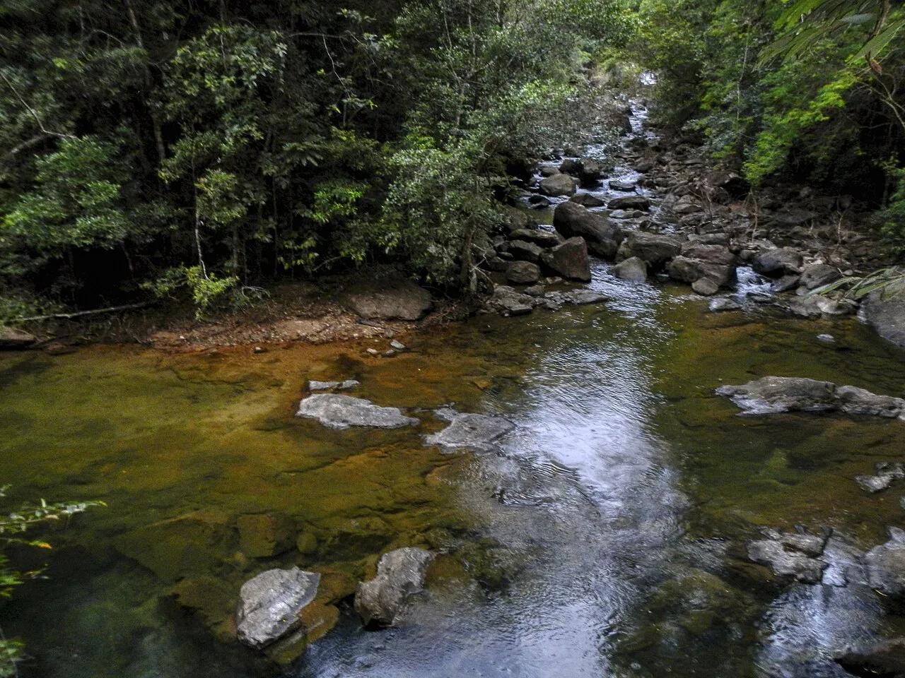
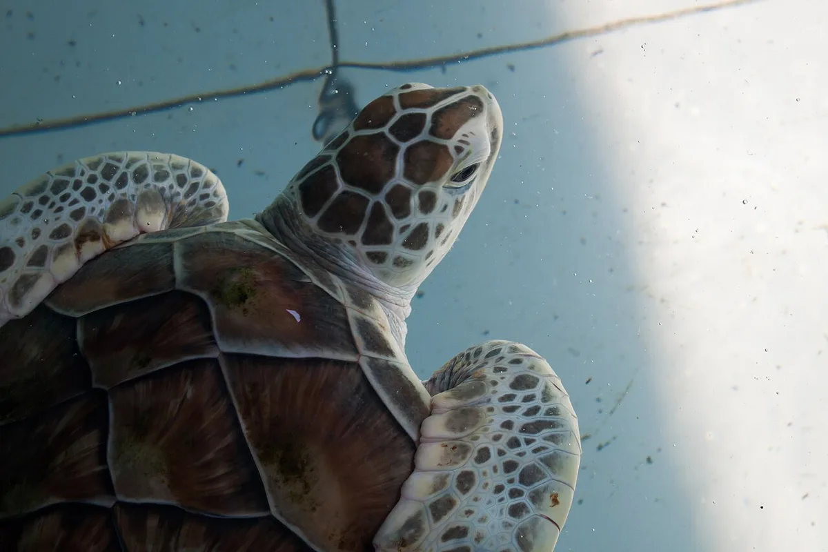
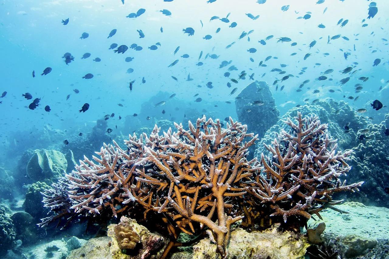
Pick activities by effort, weather and group, not by a checklist. Waterfalls and forest walks suit families and anyone who wants shade. Boat trips to the outer islands suit snorkelers, since the park protects coral reefs. Viewpoints and hikes suit fit visitors who start early. Dive and snorkel operators can tell you which islands have the best visibility on a given week. Levels below are relative, not quoted prices.
| Activity | Best for | Effort | Time | Cost level |
|---|---|---|---|---|
| Waterfalls | Families, shade seekers | Low to moderate | Half a day | Budget |
| Snorkeling and island trips | Swimmers, reef fans | Low | Full day | Mid-range |
| Viewpoints and hikes | Hikers, early risers | Moderate to high | Half a day | Budget |
| Beach stay | Slow travelers | Low | Flexible | Varies |
- Waterfall visits: low to moderate effort, short time, budget cost level.
- Island-hopping or snorkeling tours: low effort, a full day, mid-range cost level.
- Viewpoints and hikes: moderate to high effort, half a day, budget cost level.
- Quiet beach stay: lowest effort, flexible time, cost level depends on your accommodation.
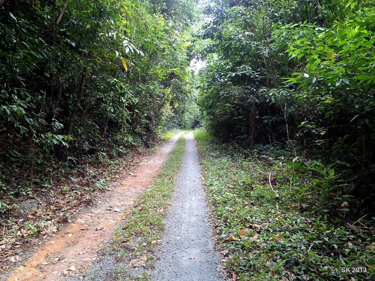
How to Plan Your Time
Half a day is enough for one waterfall or viewpoint. One full day fits a single boat tour to the outer islands. Two to three days let you combine a boat day, a waterfall morning and a slow beach afternoon. Sea conditions drive the schedule. Ko Chang has a wet season, and rough seas can cancel boats, so keep one spare day if the island trip is your main goal. Book the boat day early in your stay, which leaves room to reschedule. Ko Mak and the other outer islands add travel time, so treat them as separate plans rather than quick add-ons. Check current forecasts with the Thai Meteorological Department before committing to a sea day.
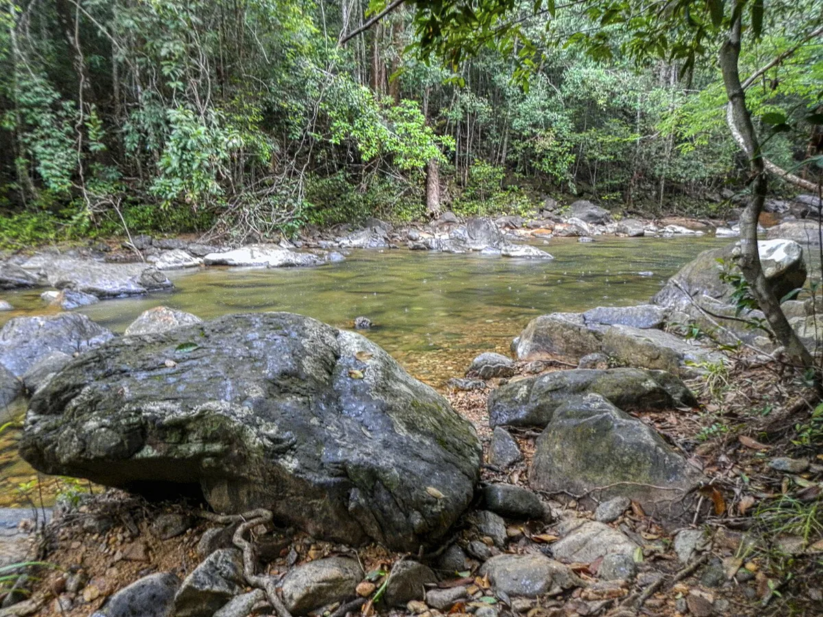
Fees, Tickets and Opening Hours
Thai parks commonly charge different rates for foreign and Thai visitors, and for adults and children. Current baht rates for each Ko Chang site are published by the DNP and the park office, so confirm them there before you go. One ticket does not cover the whole archipelago. Each site and each boat tour can carry its own charge. Boat operators sometimes include the park fee, lunch and snorkel gear, and sometimes do not, so ask what is covered. The park office is at 23/7 Moo 3, Ko Chang, Trat 23170. Its phone listing is +66 39-510-928. Map listings show office hours of 8:30 AM to 4:30 PM on weekdays and closed on weekends. Those are office hours, not entry hours for waterfalls, beaches or islands. For the national picture, see our national park fees overview.
Office hours of 8:30 AM to 4:30 PM on weekdays are a weekday-only window, which matters if your spare sea day falls on a weekend.
Getting There and Getting Around
The usual route runs from the mainland in Trat Province to a ferry crossing, then onto Ko Chang. Laem Ngop is the commonly used pier area, so check the operator's notice for the current departure point and timetable. Once on the island, you choose between a songthaew (shared pickup), a taxi or a scooter. Island roads are hilly, so journeys take longer than the map distance suggests. Scooters give freedom but carry road risk on steep, wet bends. Outer islands generally run through boat operators rather than public ferries.
Those 50 smaller islands are reached by boat operators rather than public ferries, so a boat day needs its own transport plan.
| Option | Best for | Trade-off |
|---|---|---|
| Songthaew (shared pickup) | Budget travelers on main routes | Fixed routes, waits, less flexible |
| Taxi | Groups, luggage, tight schedules | Higher cost, agree the fare first |
| Scooter | Confident riders, side trips | Hills and wet roads raise the risk |
| Tour operator boat | Outer islands and snorkeling | Check what the price includes |
Where to Stay
Choose a beach area by trip goal rather than by name. Stay near the west-coast beaches if you want easy access to restaurants and songthaew routes. Choose a quieter stretch if forest walks and sea views matter more than nightlife. Snorkelers should stay close to the pier or tour operator pick-up point they plan to use, which saves early-morning transfers. Still choosing a destination? Compare this park with Ang Thong's island scenery, the Ko Lanta marine park or the Phi Phi islands. Each needs a separate trip, as they lie on different coasts or gulf sections.
Mistakes to Avoid and When to Skip It
A few planning errors cause most of the frustration here. Skip the park if you only want nightlife or a short beach stop. Other Thai marine parks, such as Similan and Tarutao, are on the Andaman side. They are not near Ko Chang and need their own itinerary.
- Assuming one ticket covers every site and island.
- Treating office hours as attraction opening hours.
- Booking a boat without asking whether the park fee is included.
- Underestimating hilly island road times.
- Planning a sea day with no spare weather buffer.
Frequently Asked Questions
How large is Koh Chang?
Ko Chang covers about 213 km², making it the main island in the park. The whole protected area spans about 650 km² including sea and around 50 other islands.
When to go to Koh Chang?
Ko Chang has a wet season, when rough seas can cancel boat trips. Check the Thai Meteorological Department forecast and your operator's cancellation terms before booking an island day.
Notes for your next dive trip
Optional updates to our Thai diving guides.
You might also like

Continue reading
More guides you'll find useful